Central Area (Interactive GIS Canvas & Map Deep Dive)
Main Map Viewer
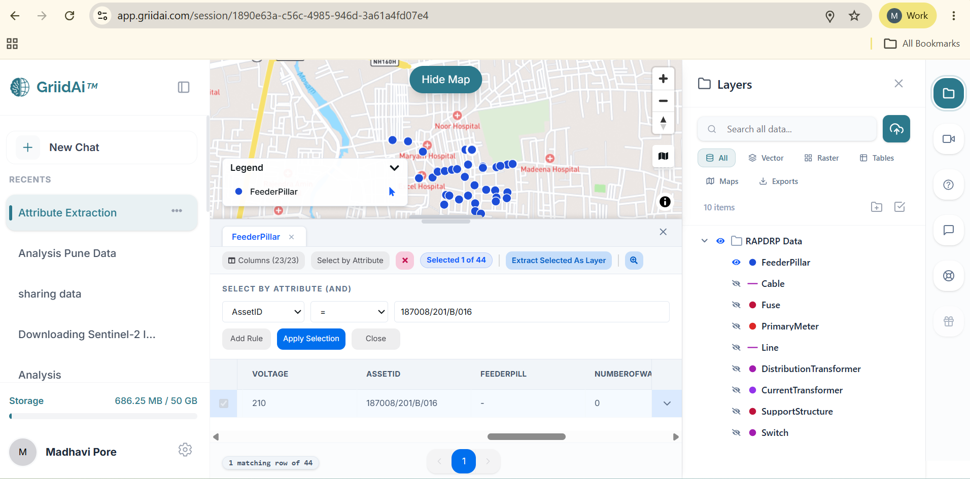
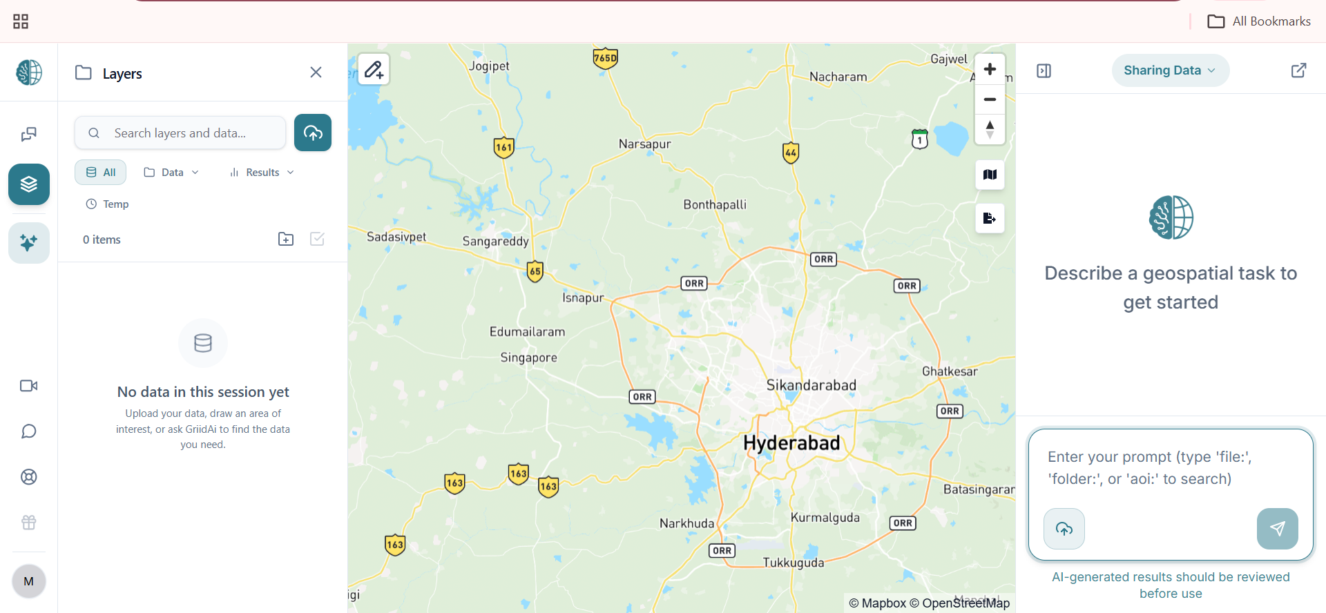
The center of your GriidAi screen is the main workspace, combining interactive maps with high-performance geographic visualization.
Map Toolbar (Top-Left)
Contains utility buttons directly on the map for tools such as AOI creation using rectangles or polygons and feature selection.
- Visualizing Your Data:
- Vector Rendering: Shapefiles, GeoJSON, and other vector datasets are drawn as points, lines, or polygons over the basemap.
- Raster Rendering: GeoTIFFs and satellite imagery are displayed as raster layers on the map.
- Instant Updates: When you ask the AI to filter or manipulate data, the map updates to reflect the resulting changes.
- Navigating the Map:
- Panning: Click and drag the map to move the view.
- Zooming: Use the mouse wheel or the on-screen zoom controls to zoom in and out.
- Rotation: Drag to rotate the map and use Reset North to restore its default orientation.
Change Basemap
Use the basemap selector on the map canvas to choose the geographic background that best suits your analysis context.
How to use:
- Open the basemap selector on the map canvas.
- Choose Hybrid, Streets, Satellite, Light, Dark, or No Basemap.
- Continue your map analysis with the selected basemap.
Available Basemap Options:
- Hybrid: Combines high-resolution satellite imagery with overlaid street labels and road networks.
- Streets: Detailed urban cartography emphasizing road networks and landmarks.
- Satellite: High-resolution photographic imagery without labels.
- Light: Clean, subtle light-gray backdrop for high-contrast thematic data.
- Dark: Elegant dark-gray canvas optimized for luminous spatial visualizations.
- No Basemap: Transparent canvas isolating only your loaded data layers.
Export Map:
- Export your map as an image or PDF to save, share, or use your map outside GriidAi.
Split-Screen Attribute Table
When you open a dataset's attribute table, it shares the screen with the map using an adjustable drag handle---allowing you to view your map and attribute table.